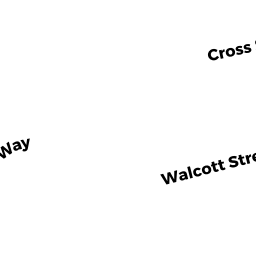
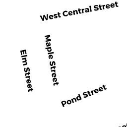
23 PLAIN ST
Owner Information
ROBERTS JOHN R
27 LELAND ST
NORFOLK, MA 02056


Property Details
23 PLAIN ST is classified as a Three-Family Residential (Old style).
The primary structure on this property was built in 1870. There is 2,446ft2 of residential/living space within this property. This property is listed as having 8 rooms. There are 3 units within this property.
23 PLAIN ST is valued at $568,500. The land is valued at $359,500 and the structures are valued at $209,000. There is an additional valuation of $5,210 on this property.
This property is in Zone RG. Confirm with local Zoning Board authorities to ensure there are no overlays or other easements on this property.
The most recent deed for 23 PLAIN ST is recorded at the local registrar in Book 13045, Page 298.
Assessment data from fiscal year 2022.
Flood Data
According to the FEMA National Flood Hazard Layer, this property does not appear to be in a flood zone. It may also be in an area not yet reviewed. Nonetheless, confirm this information prior to taking any action.
To view the flood hazards around this property, create a FEMA "Firmette" Map of the area around 23 PLAIN ST.
Broadband Internet Providers
| Provider | Type | Bandwidth (mbps) | |
|---|---|---|---|
| Verizon New England Inc. | Fiber | 940 | 880 |
| Crown Castle Fiber | Fiber | 0 | 0 |
| Viasat Inc | Satellite | 100 | 3 |
| Verizon New England Inc. | DSL | 10 | 1 |
| Comcast | Cable | 1000 | 35 |
| RCN | Cable | 500 | 20 |
| RCN | Cable | 1000 | 20 |
| T-Mobile | Fixed Wireless | 25 | 3 |
| GCI Communication Corp. | Satellite | 0 | 0 |
| HughesNet | Satellite | 25 | 3 |
| VSAT Systems, LLC. | Satellite | 2 | 1 |
Broadband service provider data from December 2020.
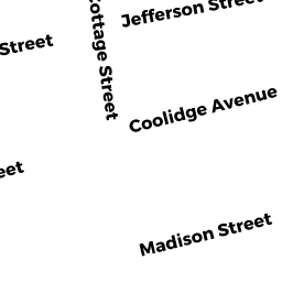
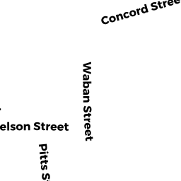
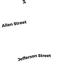
Adjacent Properties
- 21 PLAIN ST
Single Family Residential owned by SAVCHUK SERGII - 25 PLAIN ST
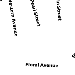
Single Family Residential owned by WILLIAM B BEHRENDS 2015 FAMILY TRUST - 24 PEARL ST
Two-Family Residential owned by ZUNIGA SANDRA MURGA - 22 PEARL ST
Single Family Residential owned by FAULKNER MARY T - 20 PEARL ST
Single Family Residential owned by BOGAN JOHN E